Redoubts - Mini fortresses in the polder
In the Lage Vuchtpolder, small forts from the Eighty Years' War have been redesigned as part of the Zuiderwaterlinie.
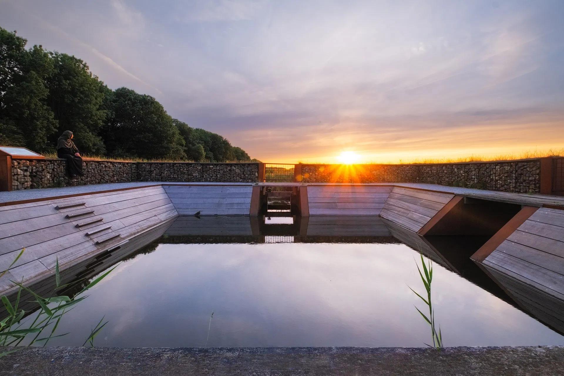
The Lage Vuchtpolder is currently a nature reserve. In the past, it was an agricultural area and peat was extracted in the Middle Ages. In addition, it was part of the defense lines around Breda. The area was regularly flooded so that the enemy could be kept at a distance. In the Vuchtpolder, various defense works were built, such as the Spinolaschans and several redoubts.
Redoubts served as lookout points for the soldiers, so they could keep an eye on the flooded area. Until recently, the traces from the past were no longer visible. Spatial designer Merel van de Linden has designed three landmarks that refer to the redoubts that used to stand on the Zwarte Dijk. The redoubts are linked to different themes that characterise the area: bird, peat, and water.
Marike de Nobel, Heritage Alderman: "The history of Breda still says a lot about the city today. Think of the many sieges during the Eighty Years' War and the multiple times the city of Breda was conquered. But also the defense works that were once built here by Spanish soldiers. It is great that these important elements from that history have now been made visible again. As part of the Zuiderwaterlinie and the Royal Roots programme, this history will be visible in multiple locations and from multiple perspectives."
Loading map...