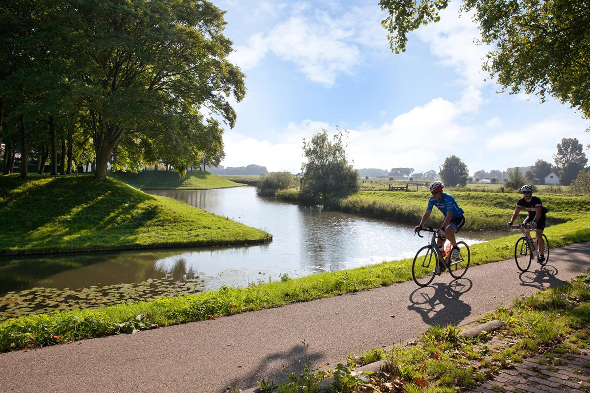
Cycle along the Zuiderwaterlinie
First waterline of the Netherlands
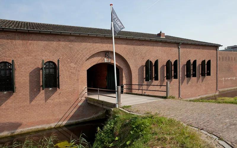
Since the Eighty Years' War, over 450 years ago, Brabant has been using water as a defence mechanism. This is where the first real water defence line of the Netherlands was established. After fighting against the Spaniards, this served to defend against the French and Belgians. During the Second World War, combat aircraft put an end to the Zuiderwaterlinie as a military defence line. Now, the line is a true cycling paradise, with beautiful routes through Brabant.
Cycling paradise
Spread across the 160-kilometre long Zuiderwaterlinie, the ANWB has developed five interconnected cycling routes. Each one is around 40 to 50 kilometres long. For example, cycle from Breda to Geertruidenberg and discover impressive fortified cities and hidden corners…
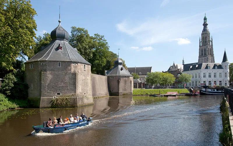
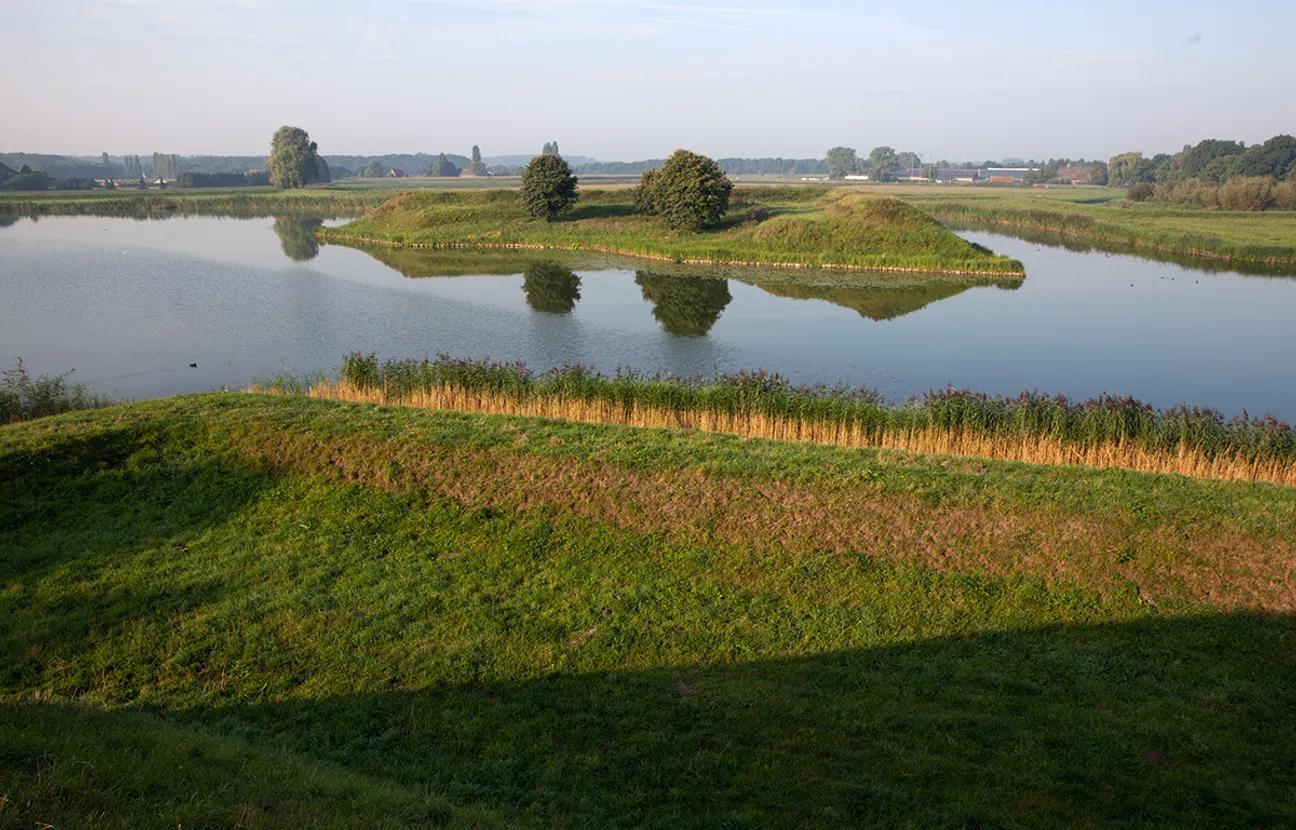
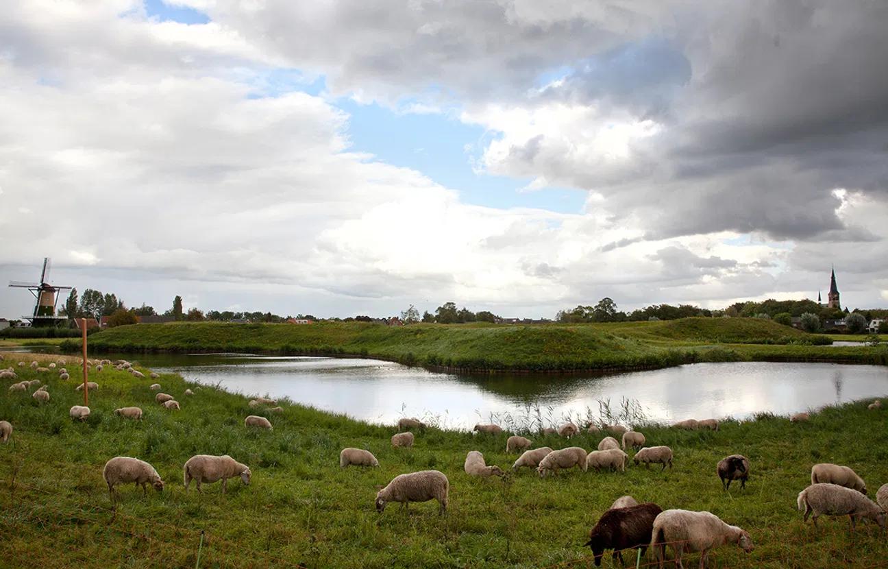
The cycling route from Breda to Geertruidenberg promises a trip full of surprises. Throughout history, these fortified cities were often on the enemy's radar. You can still see this in the many fortifications, moats and bulwarks.
Jump on your bike!
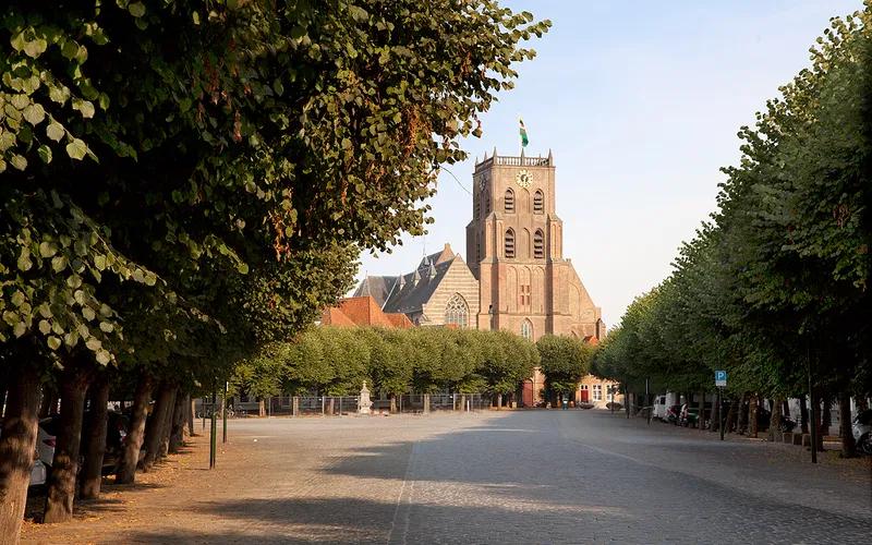
The route (42 km) starts at the train station of Breda and takes you to Geertruidenberg. This former fortress town has the oldest city rights in the County of Holland. Along the way, you will cycle past the Spinolaschans, the Ruïne van Strijen, the Linie van de Munnikenhof, and the Linie Den Hout. Enjoy your cycling!
Tip! Download the free ANWB Cycling app. With this app, you will have the route at hand and you will see exactly where you can take a break while enjoying a snack and a drink.
Click here for more information